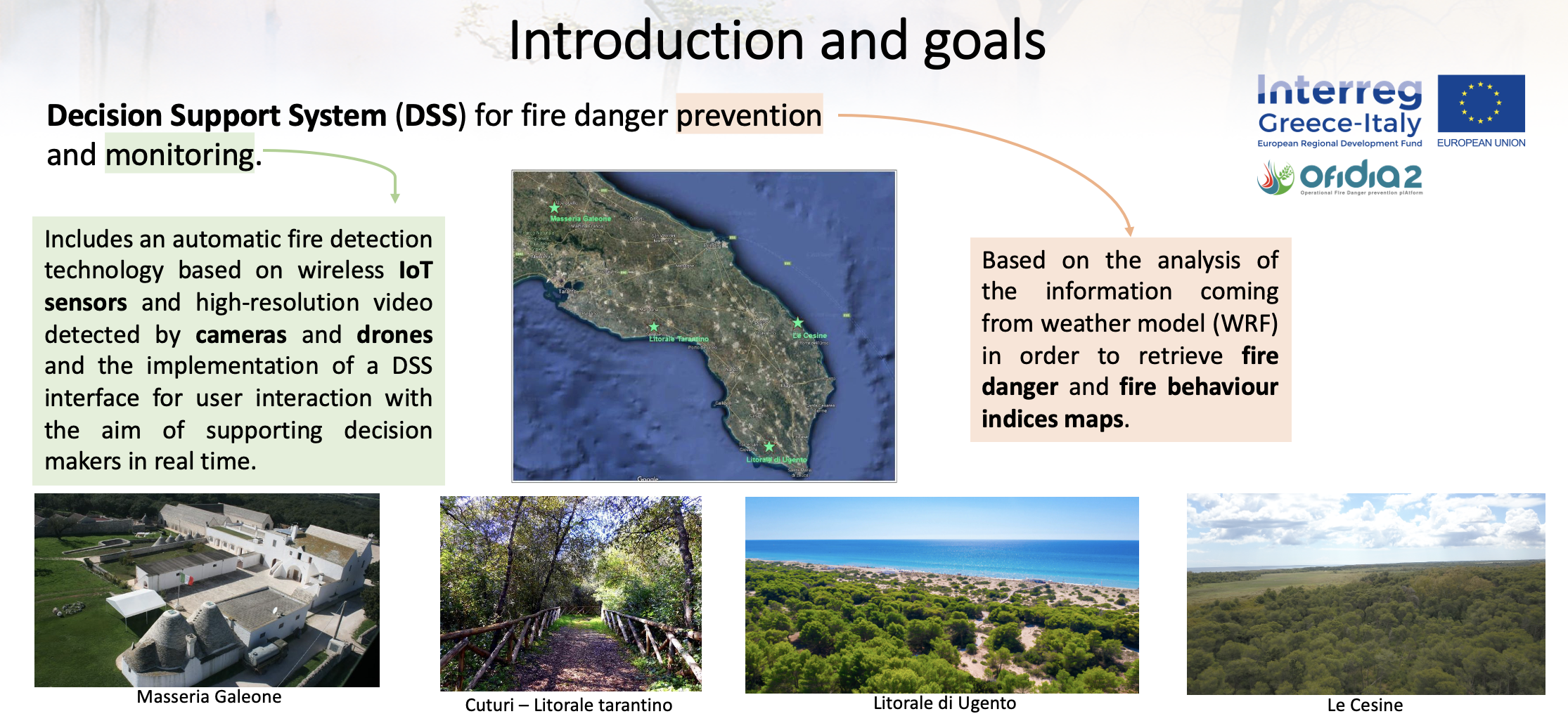
Forest wildfires are a critical problem in the Apulia and Epirus regions (the eligible areas of the OFIDIA2 project) where this phenomenon is extremely dangerous, especially during summer. High temperatures and low precipitations are the ideal conditions for the occurrence of highly intensive and rapidly spreading seasonal fires.
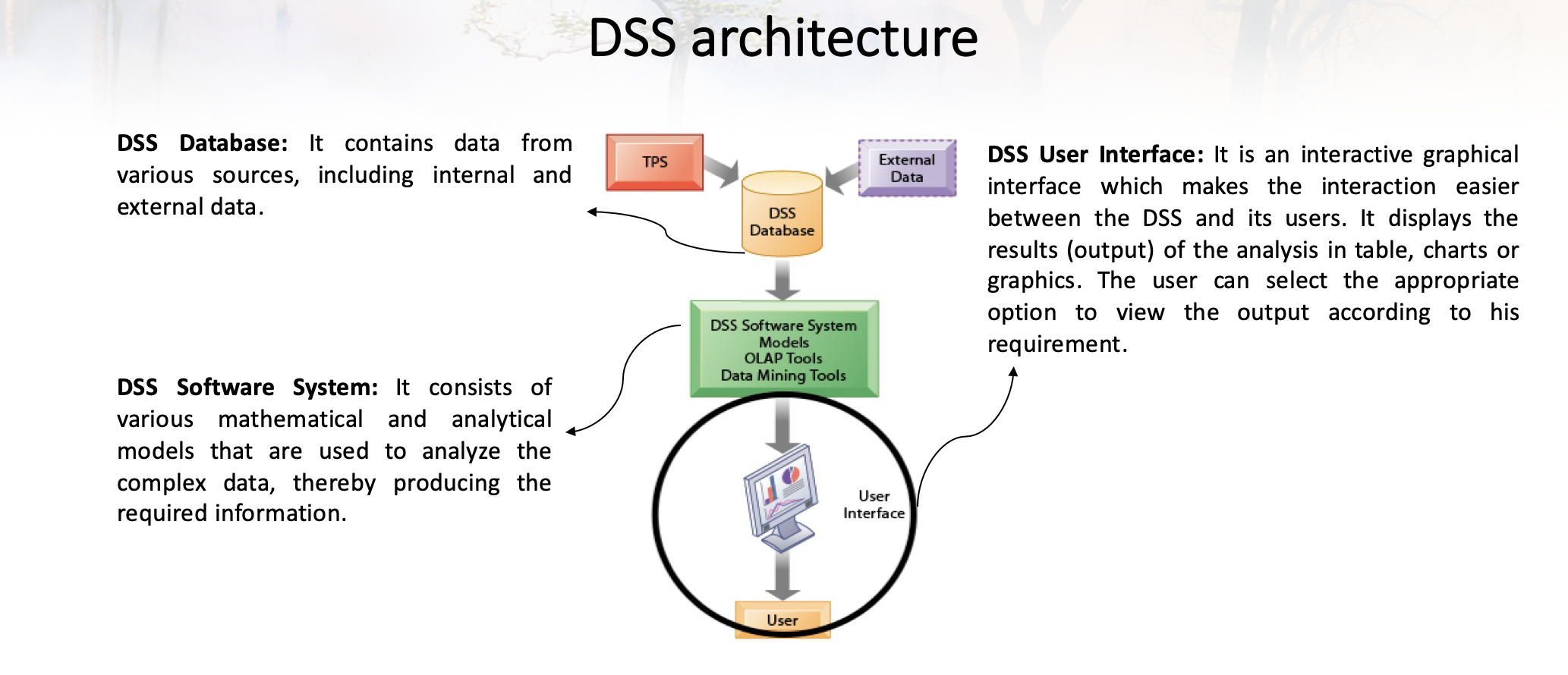
Wildfires cause wide damage with detrimental consequences to the life sustainability of human population, plants and animals in the short and long run. A Decision Support System (DSS) is an interactive computer-based system or subsystem intended to help decision makers use communication technologies, data, documents, information and/or models to identify and solve problems, complete decision process tasks and make the proper decisions. In a DSS, the Geographical Information System (GIS) is widely used for spatial data management, in order to capture, store, manipulate, analyze, manage, and present geographical data.
An efficient GIS-based DSS in OFIDIA2 will help forest managers with their decision-making tasks during forest fires. OFIDIA2 DSS will allow fire historical analysis, the acquisition of real-time data collected by firefighters on the field with the help of connected portable devices and aerial imagery, as well as the prediction of fire behavior to prevent emergencies.
The main features of the OFIDIA2 DSS are:
-
Analyzing historical data about previous fires.
-
Acquiring real-time data collected by firefighters on the field with the help of connected portable devices and aerial imagery.
-
Predicting fire behavior by means of mathematical models fed with various data such as the ignition point, weather conditions, vegetation model, wind strength and direction.
-
Preventing emergencies based on mathematical models that relate weather forecast information with fire danger, thus allowing the computation of fire danger indices at high resolutions.
-
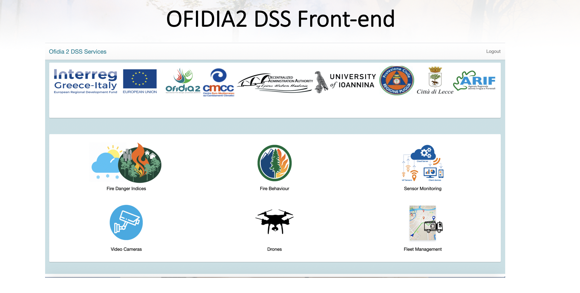
Providing monitoring capabilities through a distributed sensor network as well as several strategically located cameras.
